
Cameron Perry · 14 October 2026
The Intersection of Digitized Historical Records and Contemporary Student Projects in Environmental Restoration
Researchers have turned to digitized historical records as foundational tools for guiding student projects in environmental restoration across multiple continents, and these archives supply baseline data on species distributions, land use patterns, and climate conditions from previous centuries that modern teams compare against current observations.
Universities in Europe and North America have integrated such records into curricula since the early 2010s, with students accessing online repositories that contain scanned herbarium specimens, survey maps, and weather logs dating back to the 1800s, while projects in Australia and Canada have followed similar approaches by combining these materials with satellite imagery and field measurements.
Digitization Efforts and Data Accessibility
Institutions such as national archives and research libraries have completed large-scale digitization programs that convert paper documents into searchable databases, and the European Environment Agency reports that over 2.5 million ecological records from the 19th and 20th centuries now exist in digital formats accessible to academic users, whereas the United States National Archives maintains parallel collections focused on public land surveys that reveal pre-industrial vegetation cover.
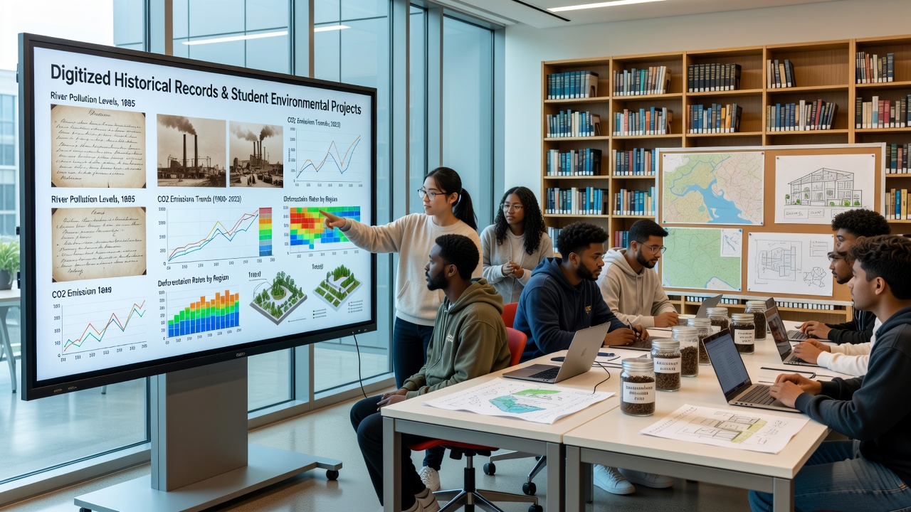
Students in environmental science programs query these datasets through geographic information systems, and one project at a Polish university used 1870s Prussian forestry maps to identify areas where native tree species had declined due to agricultural expansion, leading participants to design restoration plots that prioritize species mentioned in those original surveys.
Student Applications in Restoration Planning
Contemporary student teams apply historical data to set measurable targets for habitat recovery, and they cross-reference old species lists with present-day biodiversity surveys to calculate restoration success rates, while groups in October 2026 are scheduled to present findings from multi-year studies that track changes in wetland extent using records from the 1920s alongside drone footage collected this year.
Programs in the United Kingdom and Germany have documented cases where digitized rainfall records from the 1930s informed decisions about reintroducing drought-resistant plants, and data from the Australian Bureau of Meteorology shows how students incorporated 19th-century explorer journals to map former river courses now buried under urban development, resulting in proposals for daylighting projects that restore natural flow patterns.
Integration with Modern Technologies
Machine learning algorithms now process digitized records at scale, and researchers note that convolutional neural networks trained on scanned botanical illustrations achieve 85 percent accuracy when identifying plant species from historical drawings according to a 2024 study published by the University of British Columbia, while students combine these outputs with real-time sensor data from restoration sites to adjust management plans dynamically.
Collaborations between academic departments and government agencies have produced open-source platforms that overlay historical maps on current satellite layers, and participants in these initiatives report improved precision when selecting seed mixes for prairie restoration because they can reference exact locations of native grasses documented in 1880s land office records from the American Midwest.
Regional Case Examples
In Scandinavia, students working with digitized Sami traditional knowledge records from the late 1700s have supported lichen restoration on reindeer grazing lands affected by industrial pollution, and similar efforts in New Zealand draw on Maori oral histories transcribed in the 1840s to guide wetland plantings that align with pre-colonial species compositions.
European Union funded programs have linked student projects across borders by sharing digitized data from the 1950s International Geophysical Year expeditions, and teams use these materials to model how alpine meadows have shifted in response to temperature changes recorded over seven decades.
Conclusion
Digitized historical records continue to shape student projects in environmental restoration by providing verifiable baselines that guide site selection, species choice, and progress evaluation, while ongoing digitization initiatives and technological tools expand access for new cohorts entering the field each academic year, and observers note sustained growth in the number of universities incorporating these resources into capstone requirements as of late 2026.