Ines Wagner · 16 September 2026
Bridging 19th Century Plant Records with Modern Dockside Habitat Tracking Efforts
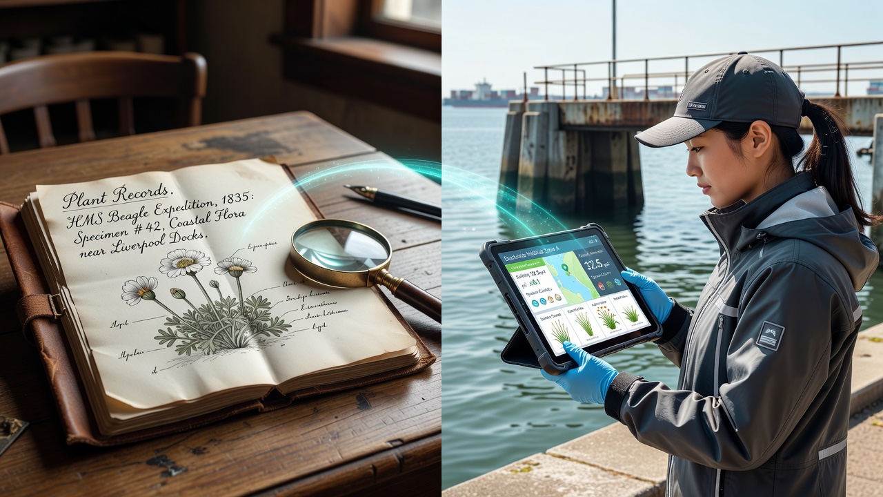
Historical records from 19th century dock areas document plant species through shipping logs, herbarium specimens, and port authority notes that tracked arrivals tied to global trade routes, and these archives now supply baseline data for contemporary habitat monitoring programs at active waterfront sites. Researchers at institutions such as the Royal Botanic Gardens, Kew have digitized thousands of entries from European and North American ports, which allows direct comparisons between past distributions and current observations collected through sensor networks and satellite imagery.
Historical Data Sources and Their Structure
Port records from that era often listed plant arrivals alongside cargo manifests, while naturalists maintained detailed journals noting growth patterns along wharves and in adjacent wetlands; these documents include precise dates, locations, and species descriptions that cover both native and introduced flora. Data from cities like Liverpool and Boston reveal how dock expansions altered local vegetation, with entries noting shifts in species composition after major construction projects in the 1850s and 1870s. Digitization initiatives have converted handwritten ledgers into searchable databases, which connect directly to modern geographic information systems used for habitat mapping.
Current Tracking Technologies at Dockside Locations
Modern programs deploy acoustic sensors, drone surveys, and water quality probes to monitor habitat changes in real time, and these tools capture variables such as salinity fluctuations, sediment movement, and plant biomass that were impossible to measure systematically in earlier centuries. Agencies including the National Oceanic and Atmospheric Administration coordinate with port operators to maintain continuous data streams, while similar efforts operate through Environment and Climate Change Canada at major harbors. Integration platforms merge these live feeds with historical layers, producing time-series visualizations that highlight long-term trends in species presence and habitat extent.
Integration Methods and Case Examples
Teams apply machine learning algorithms to align 19th century specimen coordinates with present-day GPS points, which corrects for changes in shoreline geography caused by land reclamation and dredging; this process has already identified several persistent plant populations that appear in both archival and recent datasets. One project along the Thames estuary combined Victorian-era botanical surveys with current lidar scans, revealing that certain salt-tolerant species have maintained core ranges despite industrial development. Another initiative in Australian ports cross-references colonial shipping records with ongoing drone footage, and this approach has documented the spread patterns of introduced grasses first noted in the 1880s.
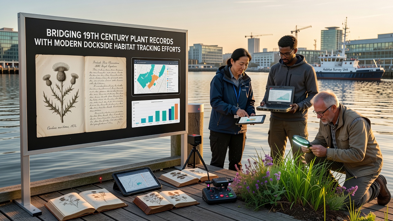
September 2026 marks the scheduled release of an expanded global database that will incorporate additional 19th century North American and Asian port records into existing European and Australian frameworks. The release follows a series of collaborative workshops where ecologists and data specialists refined alignment protocols to handle variations in historical measurement units and nomenclature.
Challenges in Data Alignment
Differences in taxonomic naming conventions between eras require careful cross-referencing against current standards, while changes in port boundaries complicate spatial matching; analysts address these issues through probabilistic models that assign confidence scores to each linkage. Incomplete records from certain decades create gaps that modern sampling campaigns attempt to fill by targeting under-documented zones. Funding from national research councils and port authorities supports these ongoing reconciliation efforts, which continue to expand the usable historical dataset each year.
Applications in Habitat Management
Restoration planners use the combined datasets to set reference conditions for dockside rehabilitation projects, and regulators reference long-term records when evaluating permit applications for new terminal expansions. The layered information helps identify areas where historical plant communities may still influence current ecosystem functions, such as sediment stabilization along aging wharves. Training programs at marine research centers now include modules on historical data interpretation alongside instruction in contemporary field equipment.
Conclusion
Archival plant records and modern tracking systems together form an expanding resource that supports evidence-based decisions at dockside habitats worldwide. Continued digitization, sensor deployment, and cross-regional data sharing sustain the connection between past observations and present monitoring, while the September 2026 database expansion will further strengthen these linkages for future analyses.